






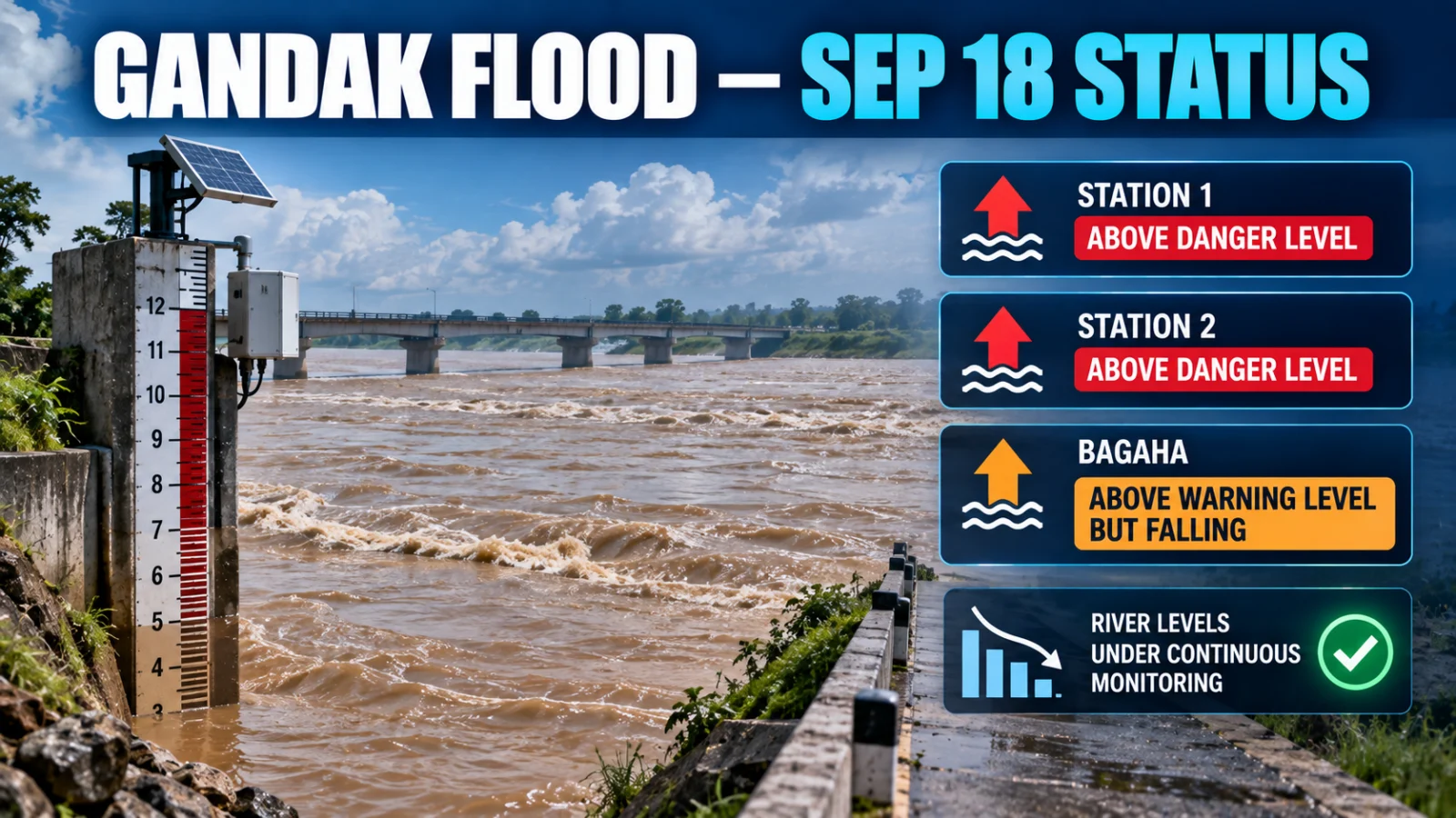
The latest September 18 Bihar FMIS/CWC readings still show two monitored Gandak stations above danger level. Dumariaghat remained above its danger threshold and was falling in the latest real-time observation reviewed, while Lalganj remained above danger level and was steady. Bagaha remained above warning level and was also falling.
The current FMIS flood-forecast table also lists Thakraha above warning level. Rewaghat and Hajipur, which were above warning level in the September 10 snapshot, were not carried forward in the current alert/forecast state reviewed for September 18, so their older elevated status should not be treated as current without a fresh station reading.
Direct answer: Dumariaghat and Lalganj remain above danger level. Bagaha remains above warning level and is falling. The current forecast table also places Thakraha above warning level.
Which Gandak stations are above danger level now?
| Station | Latest observed level | Danger level | Status | Trend |
|---|---|---|---|---|
| Dumariaghat | 62.45 m | 62.22 m | Above danger level | Falling |
| Lalganj | 50.63 m | 50.50 m | Above danger level | Steady |
Dumariaghat in Gopalganj was at 62.45 metres at 16:00 on September 18 after 62.47 metres one hour earlier. FMIS classified the station as falling while it remained above its 62.22-metre danger level.
Lalganj in Vaishali was at 50.63 metres at 16:00 against its 50.50-metre danger level. The previous-hour reading was also 50.63 metres, so the real-time alert table classified the trend as steady.
What is the latest Bagaha water level?
Bagaha remained above warning level in the latest real-time alert reading. It was at 89.04 metres at 15:00 on September 18 after 89.07 metres one hour earlier, against an 88.30-metre warning level.
FMIS classified Bagaha as falling. That is an improvement in trend, but it does not mean the station has fallen below its official warning threshold.
Is Thakraha above warning level?
The current FMIS flood-forecast table lists Thakraha at 76.71 metres against a 76.68-metre warning level, placing it above warning level in the September 18 forecast state.
This should be kept separate from a real-time observed reading. Forecast-table values and real-time observations are different evidence products, and the latest observed station state should be checked before a safety-sensitive decision.
What happened to Rewaghat and Hajipur?
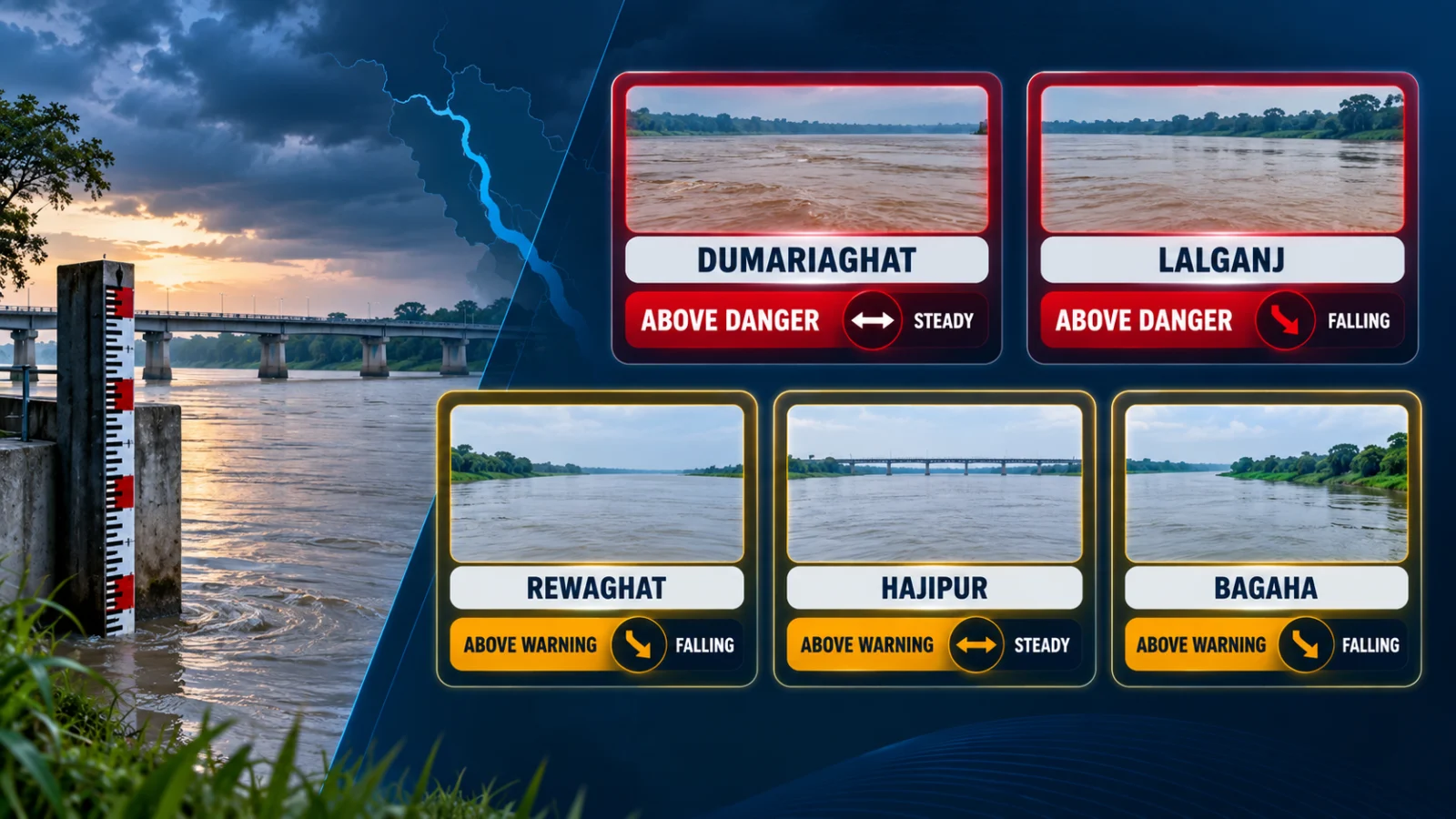
Rewaghat and Hajipur were above warning level in the September 10 station snapshot, but they were not present among the current Gandak alert/forecast rows reviewed for September 18.
That absence should not be converted into an exact new water level or a claim about local flood conditions. Readers checking either location should use the latest FMIS/CWC station reading rather than carry forward the September 10 threshold state.
Is the Gandak rising or falling overall?
There is still no single river-wide trend that should be applied to the entire Gandak. In the latest real-time alert readings reviewed, Dumariaghat and Bagaha were falling while Lalganj was steady.
The current forecast table still contains multiple Gandak stations above official thresholds, including Dumariaghat and Lalganj above danger level and Bagaha and Thakraha above warning level.
A falling reading describes direction of movement. It does not mean an official warning or danger threshold has already cleared.
Does falling water mean the flood risk is over?
No. Dumariaghat and Bagaha were falling in their latest observations but remained above danger and warning level respectively.
Residents and travellers should separate three questions: whether the river is rising or falling, whether the relevant gauge remains above an official threshold, and whether a specific road, village, property or route is affected. Gauge data answers only part of that safety decision.
What does the current FMIS forecast table show?
| Station | September 18 forecast-table value | Threshold | Forecast-table state |
|---|---|---|---|
| Dumariaghat | 62.47 m | Danger 62.22 m | Above danger level |
| Lalganj | 50.64 m | Danger 50.50 m | Above danger level |
| Bagaha | 89.17 m | Warning 88.30 m | Above warning level |
| Thakraha | 76.71 m | Warning 76.68 m | Above warning level |
These forecast-table values should not be substituted for the newest real-time observation where one is available. The two products serve different purposes.
What do warning level and danger level mean?
Bihar FMIS/CWC publishes station-specific warning and danger thresholds. A station above one of those thresholds is in an elevated official river-monitoring state.
That does not by itself establish:
- the depth of floodwater in a nearby settlement;
- whether a specific road or bridge is open;
- whether a house, farm or business is inundated;
- whether an evacuation order is in force; or
- whether a particular journey is safe.
For consequential decisions, combine the relevant river gauge with current district administration, disaster-management and local-access instructions.
What should residents and travellers check next?
- Check the newest FMIS/CWC observation. River levels can change within hours.
- Use the station relevant to your location. Conditions at Dumariaghat, Lalganj, Bagaha or Thakraha are not interchangeable.
- Compare the reading with the official threshold. A falling station can remain above warning or danger level.
- Distinguish observation from forecast. Do not treat the forecast-table value as the same thing as the latest measured reading.
- Check local authorities before travel. Gauge readings do not independently establish road closure, evacuation, school closure or local inundation.
Verification method
ThePulseSignal checked Bihar FMIS/CWC’s September 18 real-time river alert table and current flood-forecast table. The latest reviewed real-time Gandak observations were recorded at approximately 15:00–16:00 IST.
The observed station levels were compared with their published warning or danger thresholds and with the previous-hour values shown by FMIS. The separate flood-forecast table was used only to describe its current forecast state, including Thakraha.
Limitations and unresolved facts
- River levels can change after the observation times shown here.
- FMIS real-time alerts and flood forecasts are separate products and can show different values.
- Absence from the reviewed alert rows does not provide an exact current reading for a non-listed station.
- A gauge above warning or danger level does not prove locality-level inundation, road closure or evacuation status.
- No blanket Gandak-wide evacuation or travel restriction is inferred from the gauge data.
- The time when each elevated station will fall below its threshold cannot be established from the current readings alone.
Gandak flood FAQs
Is Dumariaghat still above danger level?
Yes. The latest reviewed real-time observation showed Dumariaghat at 62.45 metres against its 62.22-metre danger level. It was falling.
Is Lalganj still above danger level?
Yes. Lalganj was at 50.63 metres against its 50.50-metre danger level and was steady.
Is Bagaha still above warning level?
Yes. Bagaha was at 89.04 metres against its 88.30-metre warning level in the latest reviewed real-time reading and was falling.
Is Thakraha above warning level?
The current September 18 FMIS forecast table lists Thakraha at 76.71 metres against its 76.68-metre warning threshold. Check the latest real-time station observation before consequential action.
Are Rewaghat and Hajipur still above warning level?
Their September 10 above-warning state should not be carried forward as current. They were not present among the current Gandak alert/forecast rows reviewed for September 18, so check their newest station readings directly.
Where can I check the latest official Gandak level?
Use the Bihar Water Resources Department FMIS/BEAMS real-time alert system and identify the monitoring station relevant to your area.
Last verified: September 18, 2026.