






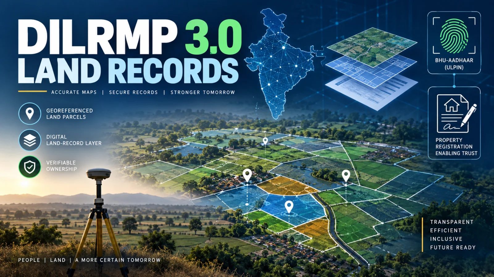
DILRMP 3.0 guidelines now formally govern the 2026–2031 phase of India’s Digital India Land Records Modernization Programme. The Operational Guidelines were launched on September 10, 2026, with a ₹565.50 crore programme outlay and a roadmap covering Bhu-Aadhaar or ULPIN, georeferenced cadastral maps, property registration, revenue-court systems and an integrated GIS-enabled Land Stack.
The most important point for landowners, buyers and other users is that the national launch does not mean every DILRMP 3.0 feature became operational everywhere on September 10. The government says implementation will be phased and performance-based across States and Union Territories, so citizen-facing availability can still differ by location and component.
What DILRMP 3.0 changes
The Department of Land Resources has moved the programme from stand-alone digitisation toward deeper integration of land records, parcel identifiers, maps, registration and related court information.
The confirmed programme areas include wider use of the 14-digit Unique Land Parcel Identification Number, commonly referred to as ULPIN or Bhu-Aadhaar; digitisation and georeferencing of cadastral maps; paperless property-registration systems; a Registration Repository; integration of Revenue Court Case Management Systems; and a GIS-enabled Land Stack.
How DILRMP 3.0 will be implemented
The September 10 launch material adds an important implementation detail: DILRMP 3.0 is to be implemented across States and Union Territories through a phased and performance-based framework with 100% central funding.
Programme progress is to be monitored through the upgraded DILRMP-MIS dashboard, with oversight through the programme’s approval and monitoring structure.
This reinforces the distinction between a national programme target and a service that is already available to a particular citizen. A component can be part of DILRMP 3.0 without being fully operational in every State or Union Territory at the same time.
What Bhu-Aadhaar or ULPIN means under the programme
ULPIN is a 14-digit identifier assigned to a land parcel using geospatial information. The Department of Land Resources describes it as part of DILRMP and links it to surveyed and georeferenced cadastral information.
DILRMP 3.0 aims to expand this parcel-identification framework, but readers should not assume that every property in every state already has a usable Bhu-Aadhaar. The official DILRMP-MIS itself shows that ULPIN implementation, georeferencing and map-linkage progress varies across States, districts and tehsils.
For a specific property, the controlling evidence remains the relevant State or Union Territory land-record system.
Paperless property registration does not mean nationwide instant rollout
The programme includes end-to-end paperless property registration and a Registration Repository. The government also plans to upgrade 75 Sub-Registrar Offices into Registration Seva Kendras, with ₹37.5 crore identified for that component.
The September 10 launch confirms this as part of the approved programme direction, but it does not establish that every Sub-Registrar Office has already switched to one identical digital workflow.
Documents, payments, appointments, identity checks and registration steps remain subject to the current rules and systems of the relevant state registration authority until that authority implements a changed process.
Maps and land records are meant to become more closely linked
DILRMP has already supported computerisation of Record of Rights data and digitisation of cadastral maps. DILRMP 3.0 places greater emphasis on spatial accuracy, georeferencing and interoperability.
The September 10 launch material said earlier programme phases had reached about 99.90% digitisation of Record of Rights, about 97% digitisation of cadastral maps and about 99% computerisation of Sub-Registrar Offices. Those national progress indicators do not mean every underlying map is georeferenced, linked to the Record of Rights or updated in real time.
The current DILRMP-MIS continues to show material differences between jurisdictions in map georeferencing, RoR-map linkage and ULPIN implementation.
Revenue courts are part of the integration plan
DILRMP 3.0 includes further integration of Revenue Court Case Management Systems, or RCCMS, with wider land-administration infrastructure.
The goal is to make related land information more interoperable, but the reviewed official evidence does not establish one nationwide date on which every revenue court or land-related proceeding moved to a common integrated digital system.
What the Land Stack means
The government’s DILRMP 3.0 launch describes a GIS-enabled Land Stack as an integrated digital framework connecting georeferenced cadastral maps, Records of Rights, property registration and related court information.
This represents a move from separate digitisation projects toward interoperable land-data infrastructure. For citizens, the potential benefit is fewer disconnected systems and more reliable links between parcel identity, map location, ownership records and registration information.
That is a programme architecture and implementation goal, not proof that one universal citizen-facing Land Stack interface is already live across India.
What is confirmed now
- DILRMP 3.0 Operational Guidelines were formally launched on September 10, 2026.
- The programme covers 2026–2031.
- The approved programme outlay is ₹565.50 crore.
- The scheme is to be implemented across States and Union Territories through a phased, performance-based framework with 100% central funding.
- ULPIN or Bhu-Aadhaar expansion is part of the roadmap.
- Georeferenced cadastral maps and closer integration with land records are programme priorities.
- Paperless property registration and a Registration Repository are included.
- Seventy-five Sub-Registrar Offices are planned for modernisation as Registration Seva Kendras.
- Revenue-court integration and a GIS-enabled Land Stack are part of the approved programme direction.
- Implementation progress is intended to be monitored through the upgraded DILRMP-MIS.
What is not safe to assume
The official launch does not establish that every DILRMP 3.0 feature became operational nationwide on September 10.
It does not prove that every property already has Bhu-Aadhaar, every cadastral map is georeferenced, every map is linked to the corresponding Record of Rights, every Sub-Registrar Office supports paperless registration, or every revenue court is integrated with the same system.
The official MIS shows that implementation is uneven across jurisdictions. State-specific availability therefore has to be checked against the controlling State or Union Territory system.
What should property owners and buyers do now?
If you are completing a land-record, mutation, title-verification or registration task, continue using the current official procedure of the relevant State or Union Territory.
For Bhu-Aadhaar or ULPIN, verify whether the identifier has actually been implemented for the relevant parcel through the official state land-record system. For registration, follow the current Sub-Registrar or state registration instructions rather than assuming the DILRMP 3.0 paperless model is already available locally.
If a property transaction has legal or financial consequences, programme announcements should not replace a current land record, registration record, encumbrance check, court record or other controlling evidence required in that jurisdiction.
How can you check whether DILRMP features are available in your state?
The national DILRMP-MIS provides implementation indicators for States and Union Territories, including map digitisation, georeferencing, Record of Rights linkage and ULPIN implementation.
Those indicators are useful for understanding programme progress, but the relevant state land-record, revenue or registration portal remains the controlling place to verify the actual citizen workflow for a particular property.
What remains unresolved?
The September 10 launch clarifies that implementation is phased and performance-based, but the reviewed evidence does not establish a single national activation date for each citizen-facing component.
Detailed rollout timing can therefore still depend on programme approvals, implementation progress and State or Union Territory systems. TPS also did not identify a newer universal instruction that replaces existing state-specific property-registration or land-record procedures.
Verification note: ThePulseSignal reviewed the September 9 PIB roadmap announcement, the September 10 official launch material, the Department of Land Resources DILRMP 3.0 guideline listing, the Department’s ULPIN guidance and the current DILRMP-MIS implementation dashboard. These sources support the programme scope and phased implementation model while also showing why national targets should not be treated as proof of local service availability.